The Estates at Lakeside
Site Purpose: Residential Development
Developer: Don Paparone Homes
Location: Williamstown Erial Road, Sicklerville NJ 08081
Description: The Estates of Lakeside offers 72 elegant single family homes available in a variety of architectural styles. These beautifully appointed homes are located in the highly desirable area of Gloucester Township, NJ. This community is minutes from convenient shopping, dining, and family entertainment. Best of all, are the magnificent views from these beautiful homes. Top rated public schools!
Aerial Drone Progression Reports
The Estates at Lakeside - Sicklerville, NJ
July 25, 2021
This page has been created for Don Paparone Homes. Aerial View Advantage can provide videos and stills of the job site’s progression.

The Estates at Lakeside 07-25-2021
Aerial 360 Virtual Tour
Take a virtual aerial tour of the Estates at Lakeside site. There are 5 points of view (Williamstown Erial Road, North to South, Behind Samples, Southwest, South to North).
Click and swipe on the image to rotate the view. Use the mouse wheel to zoom in and out. Use the arrows or dots to cycle through the different points of views. Go full screen by selecting the box in the upper right corner of the image.
Drone Progression Video
This video was captured during the July 25, 2021 visit. Using the same flight path for each mission, a new video will be added during each visit to the job site to show progression.
Job Site Aerial Photos
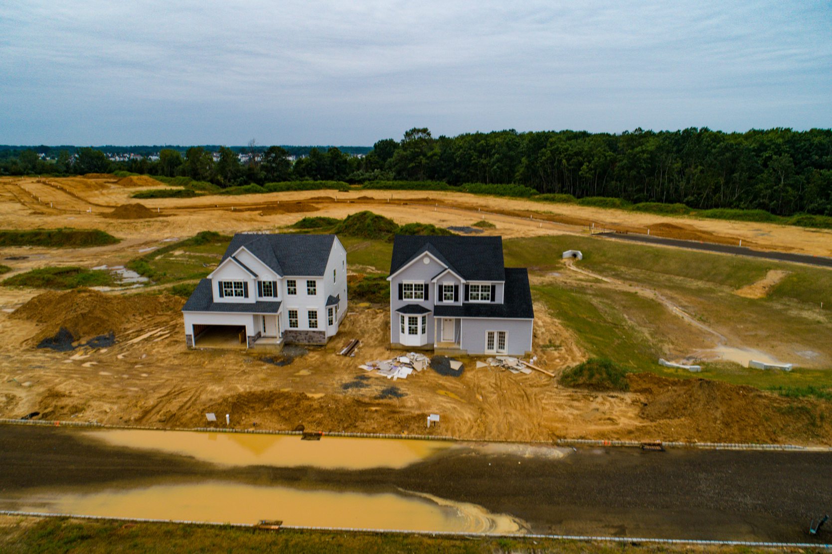
Still images produced on June 20, 2021 and July 25, 2021.
The order of the images is designed to first show the progress as of June 20th followed by the progress as of July 25th. Dates are labeled in the lower left corner of each image.
Each image will display for 5 seconds and then move to the next image. Viewers may opt to select the forward/backward arrows to move between the images at their own pace. If the viewer hovers the mouse over the image it will stop the slideshow. Removing the mouse from the image will resume the slideshow
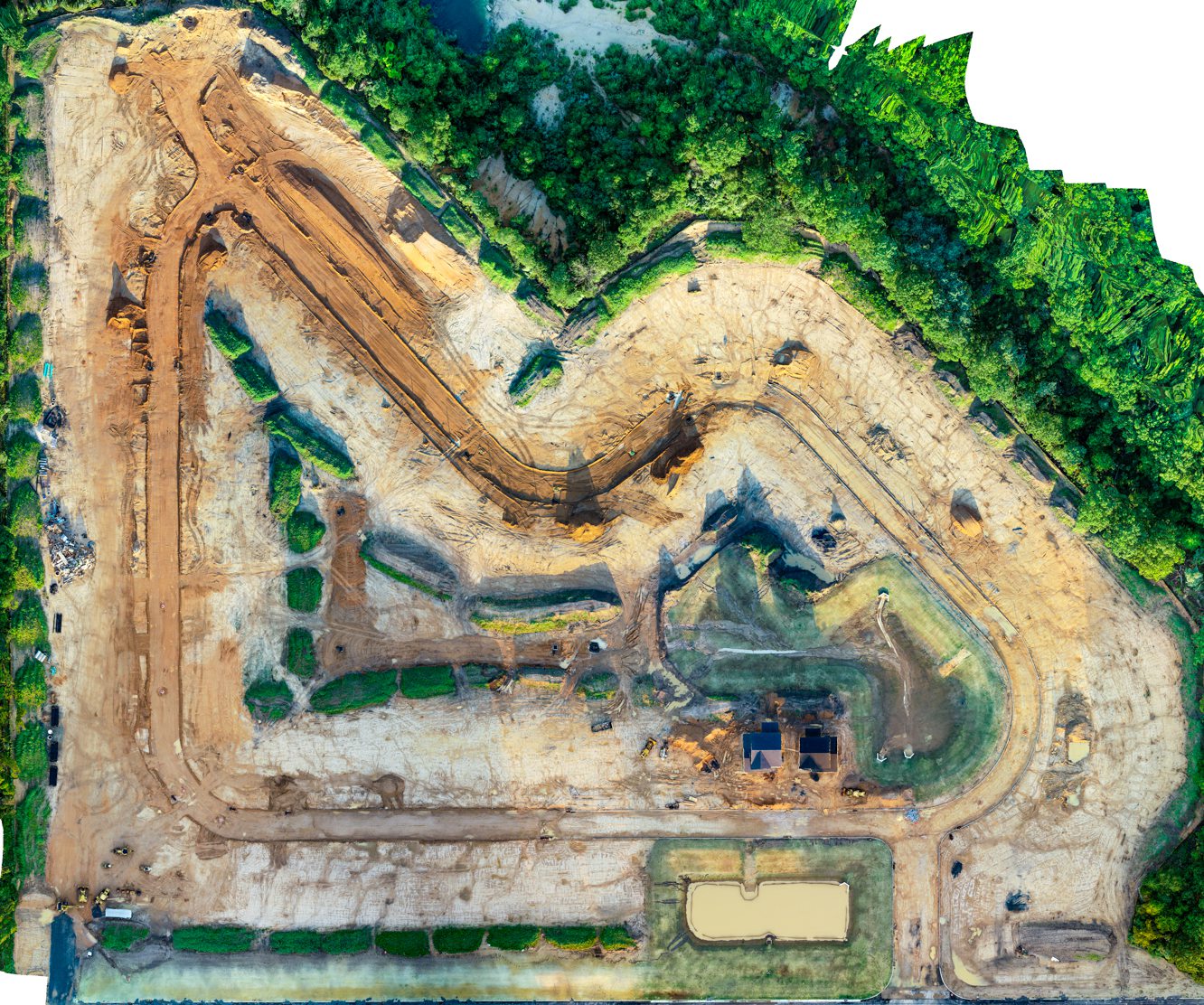
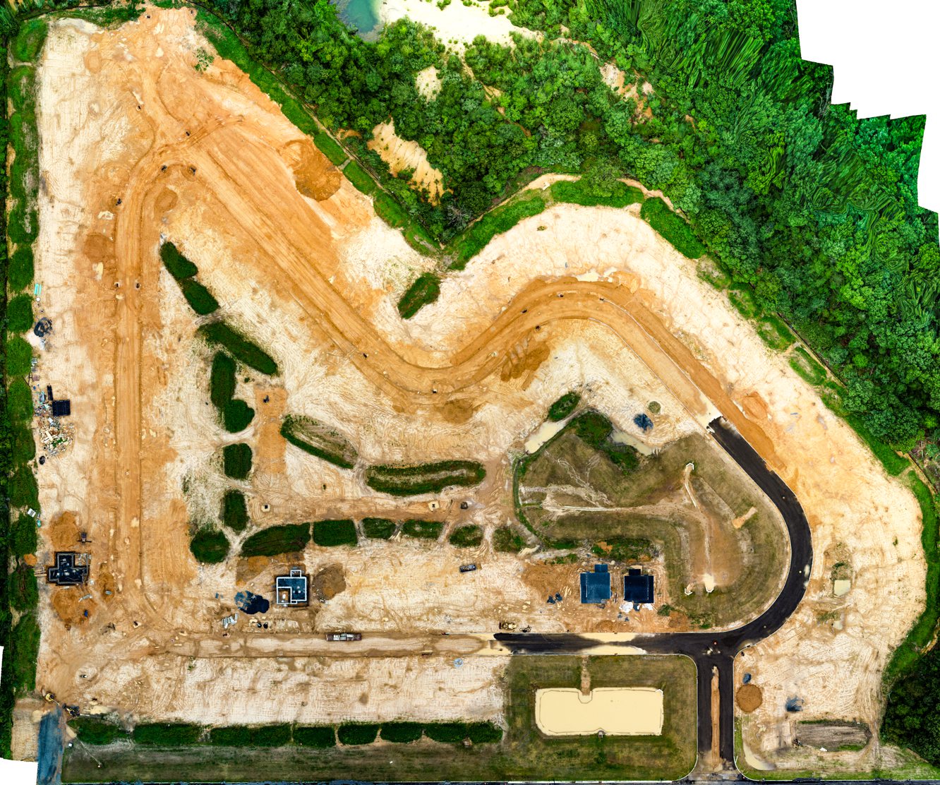
Construction Site Orthomosaic - June 20, 2021 & July 25, 2021
The view below contains two images. One image shows site progression as of June 20th. The second image shows site progression as of July 25th. Use the slider to view each full orthomosaic image.


Disclaimer
Please note, Aerial View Advantage does not have a licensed land surveyor on staff to provide survey grade analysis. Aerial View Advantage can collect data and provide to your licensed surveyor for review and analysis. This is not exclusive to Aerial View Advantage. All drone data collection services cannot interpret data unless they have a surveyor on staff.
