Aerial Construction Services
Construction Site Videos and Photography
Before and After – Showcase jobs from beginning to end with progression photos
Time Lapse Video – Incorporate site start and finish progress to aid in marketing your services for future bids
2D & 3D Modeling – Monitor your sites as they mature
Constructing Help – Offer our aerial services as a value add to your next bid to standout from the competition
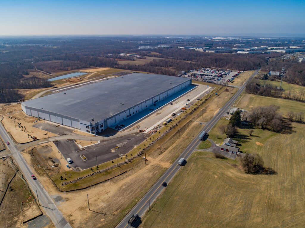
Drones on your job site
In the last few years, drones have helped make several improvements in construction. From increased accuracy in reporting, to improving safety conditions, to cutting costs and increasing efficiency. Aerial View Advantage utilizes Orthomosaic Imagery, Time Lapse Photography and Videography to provide Construction Managers, Developers and Stakeholders a remote view to the job site for progress updates.
Utilizing aerial imaging and data, Aerial View Advantage can help companies manage their resources and job sites more efficiently by providing near real-time and accurate data. Companies can make informative decisions, track site progress more effectively, add to workplace safety to satisfy OSHA requirements and provide options to communicate progress to stakeholders. Utilizing aerial data collection as an additional tool in your arsenal can help to manage costs and provide your company with a leg up against the competition.

Orthomosaic (2D) Views
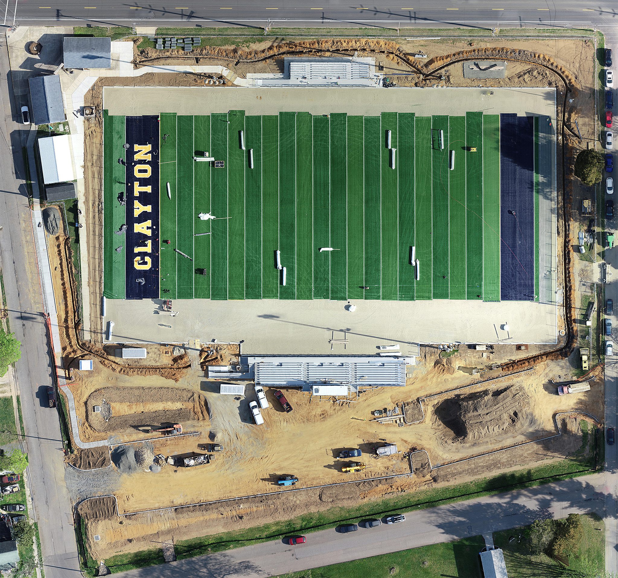
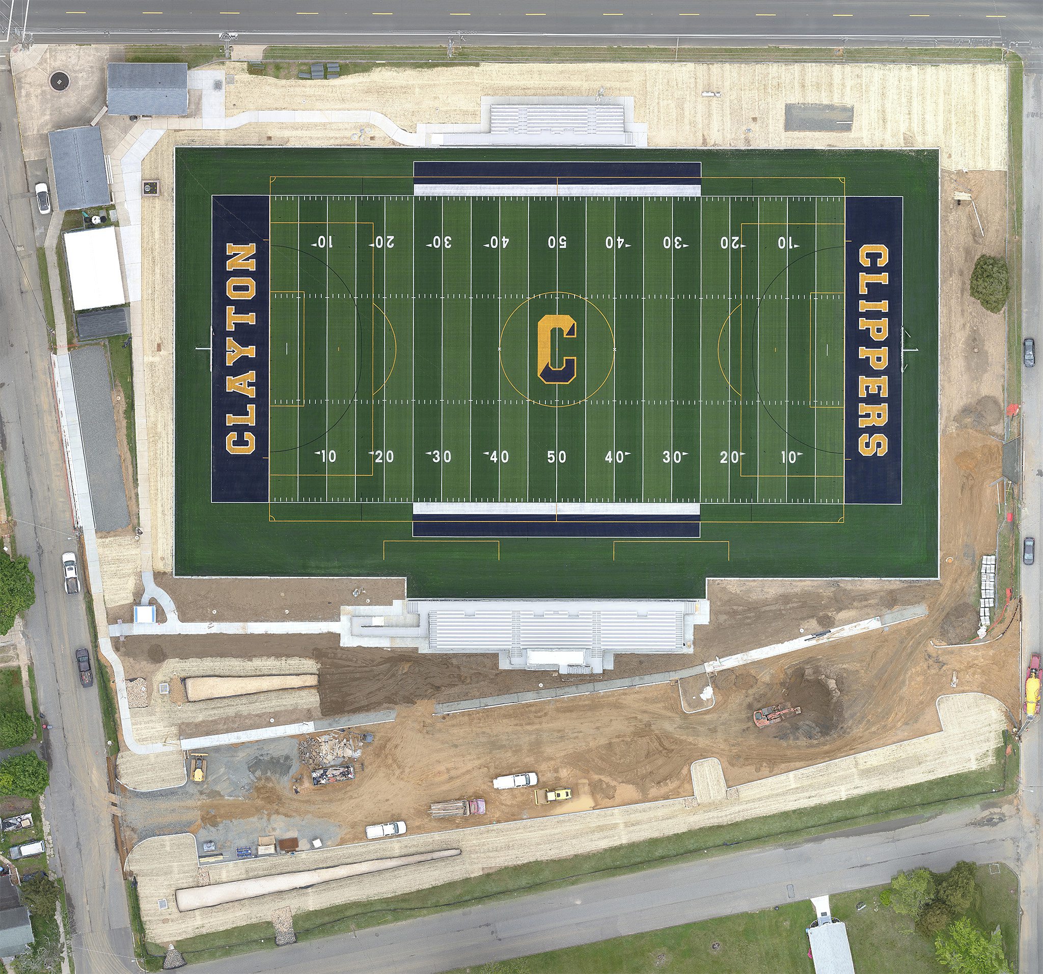
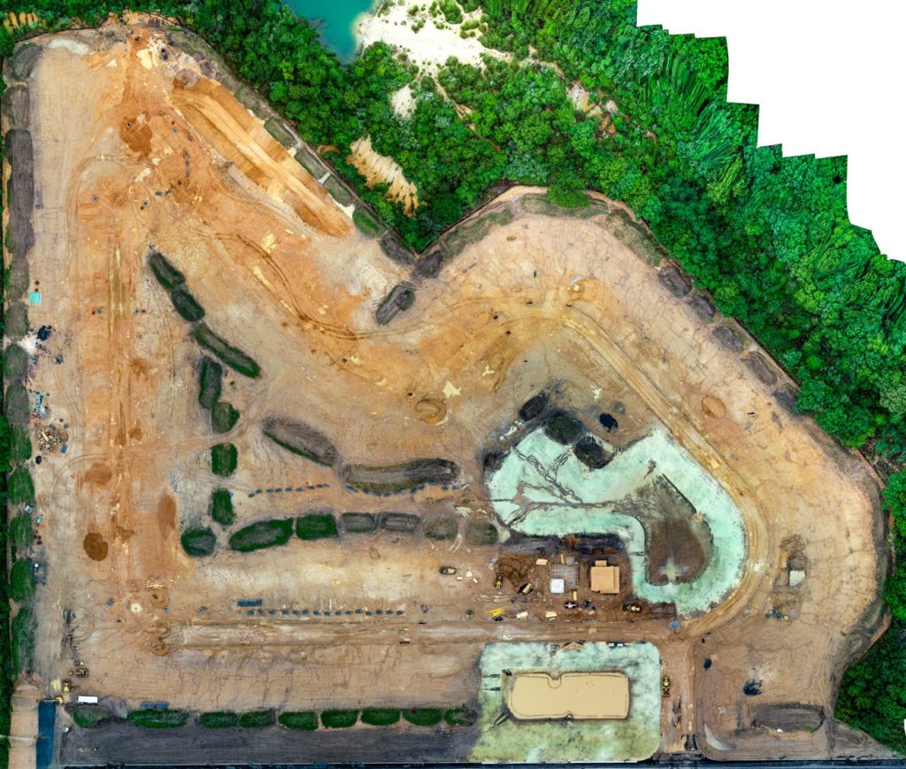
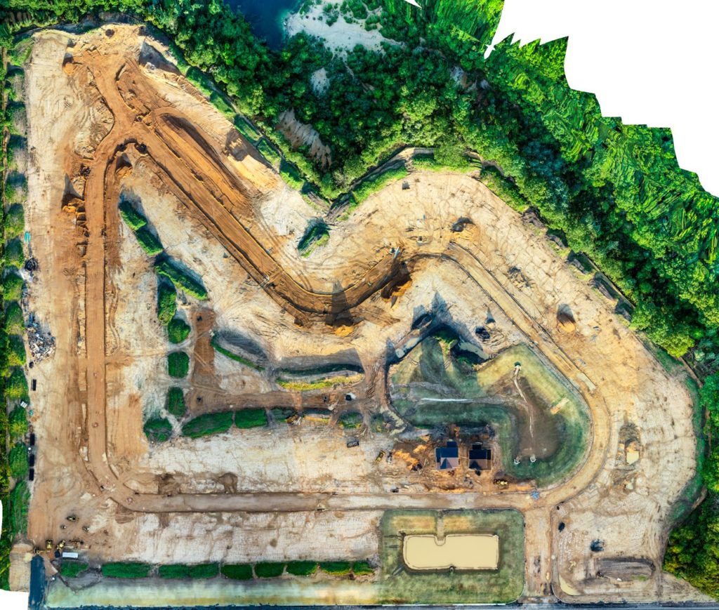
Orthomosaic Definition: An orthomosaic is similar to Google Earth, but in real time with sharper imagery. It is a large, map-quality image with high detail and resolution made by combining many smaller images called orthophotos.
Below are two examples utilizing Orthomosaic imagery to produce Before and After views of job sites. For more details about the reporting for these specific sites, see “Our Featured Gallery” below.
Photo Time Lapse View
You as the client set the frequency to fly the missions (Daily, weekly, monthly, etc). The Time Lapse photos provide a progression report showcasing the beginning and end of the project. In this example, flights started September 27, 2020 and completed on January 10, 2021. The dates are shown in the lower left corner. The Time Lapse photos or videos can be used as marketing tools to demonstrate the turnaround time to complete projects.
360 Virtual Tours
Aerial View Advantage offers 360 Virtual Tours for all our clients. While virtual tours are usually associated with real estate tours, they can also be an effective tool on the construction site. Panoramic photography utilizes a combination of specialized cameras and lenses to capture an elongated perspective.
Including 360 Virtual Tours provide a unique view of your job site to aid in managing the progress of your project. It provides a complimentary view to go along with your orthomosaic and time lapse views.
Aerial Construction Services
Our Featured Gallery
-
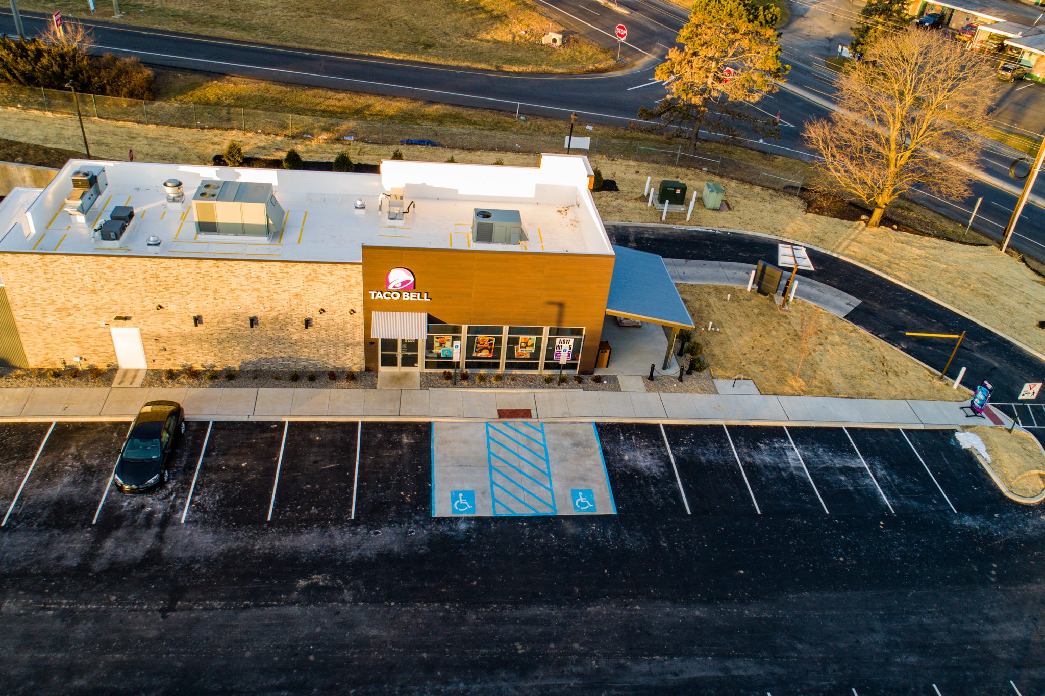 Progression Reports
 -
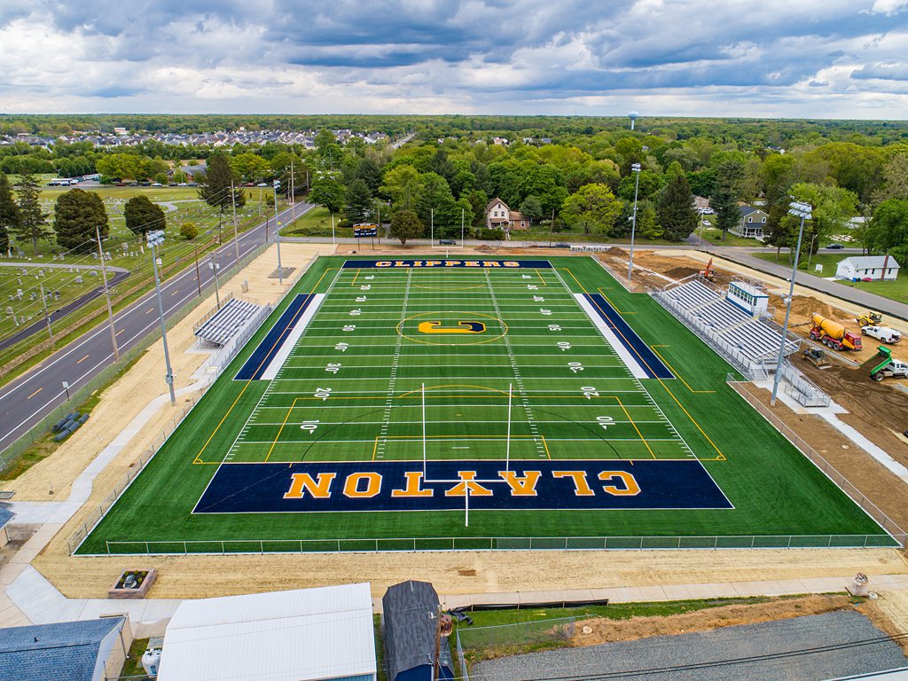 Clayton, NJ
 -
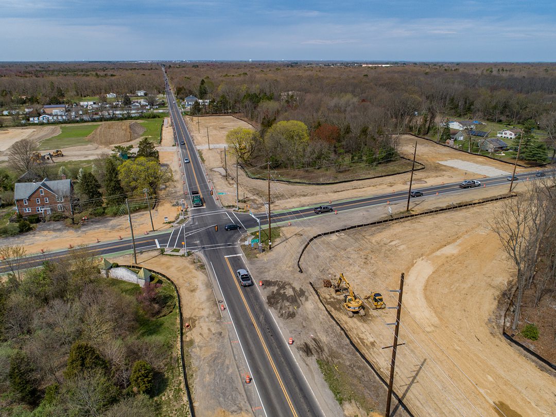 Route 322 & Fries Mill Road
 -
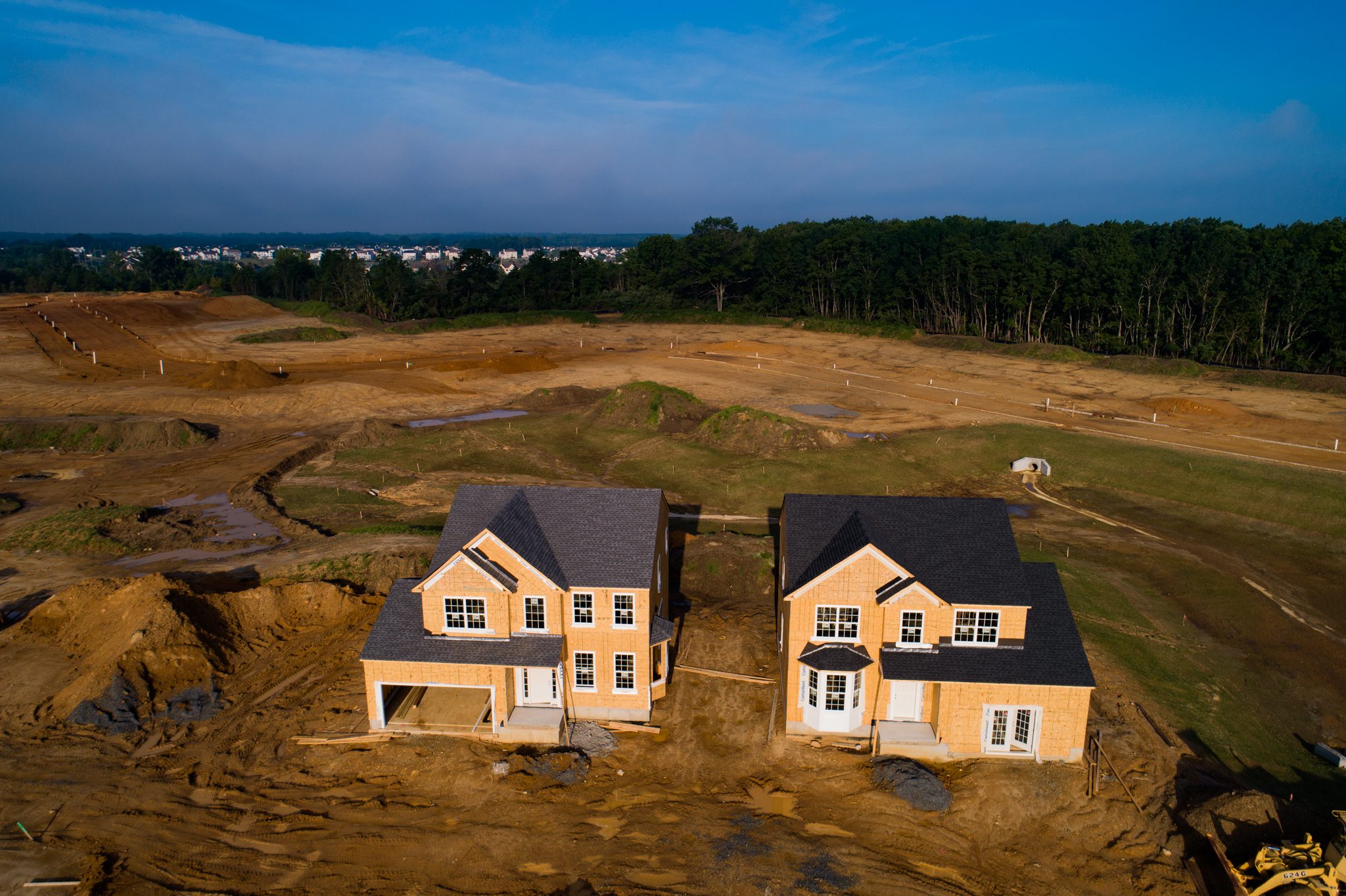 Sicklerville, NJ
 -
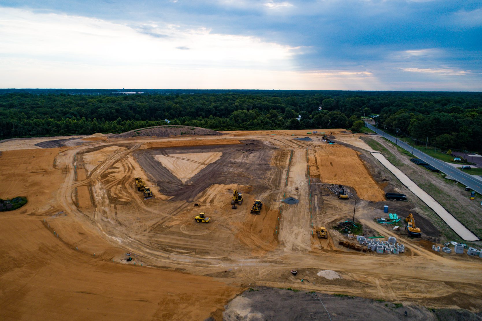 Glassboro, NJ
Disclaimer
Please note, Aerial View Advantage does not have a licensed land surveyor on staff to provide survey grade analysis. Aerial View Advantage can collect data and provide to your licensed surveyor for review and analysis. This is not exclusive to Aerial View Advantage. All drone data collection services cannot interpret data unless they have a surveyor on staff.

