Taco Bell - Mt. Laurel NJ
Site Purpose: Franchisee of Taco Bell
Developer: Summerwood Corporation
Contractor: JBS Allphase Construction
Think Outside The Bun
Location: 3220 RT-38 E, Mt. Laurel, NJ 08054
Description: Former home to a Beneficial Savings Bank branch. Located at the intersection of Rt. 38 and Walnut Drive. This intersection is just east of Hartford Road.
Aerial Drone Progression Reports
Summerwood Corporation - Taco Bell - Mt Laurel, NJ
May 23, 2021
This page has been created for Summerwood Corporation. For the duration of the Taco Bell project at 3220 RT-38 E, Mt. Laurel, NJ 08054, Aerial View Advantage will provide videos and stills of the job site’s progression.

Aerial 360 Virtual Tour
Take a virtual aerial tour of the Mt. Laurel site. There are 5 points of view (Front Entrance, Drive Thru, Rt. 38, Roof Top and 6th Street).
Click and swipe on the image to rotate the view. Use the arrows or dots to cycle through the different points of views. Go full screen by selecting the box in the upper right corner of the image.
Drone Progression Video
This video was captured during the May 23, 2021 visit. Using the same flight path for each mission, a new video will be added during each visit to the job site to show progression.
Job Site Aerial Photos
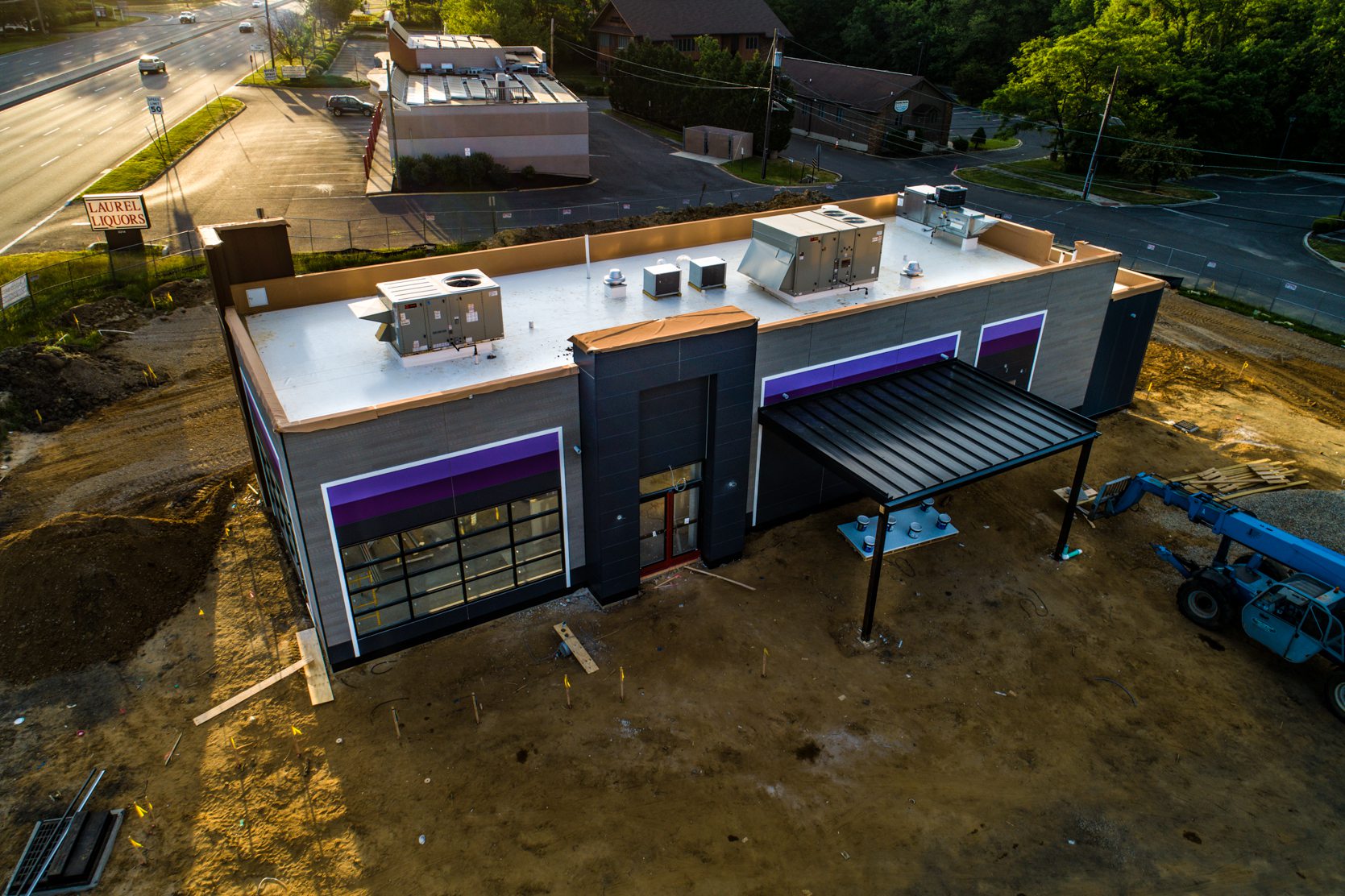
Still images produced on April 24, 2021 and May 23, 2021.
The order of the images is designed to first show the progress as of April 24th followed by the progress as of May 23rd. Dates are labeled in the lower left corner of each image.
Each image will display for 5 seconds and then move to the next image. Viewers may opt to select the forward/backward arrows to move between the images at their own pace. If the viewer hovers the mouse over the image it will stop the slideshow. Removing the mouse from the image will resume the slideshow
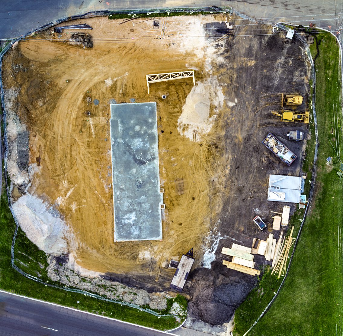
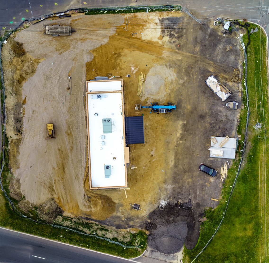
Construction Site Orthomosaic - April 24, 2021 & May 23, 2021
The view below contains two images. One image shows site progression as of April 24th. The second image shows site progression as of May 23rd. Use the slider to view each full orthomosaic image.


Disclaimer
Please note, Aerial View Advantage does not have a licensed land surveyor on staff to provide survey grade analysis. Aerial View Advantage can collect data and provide to your licensed surveyor for review and analysis. This is not exclusive to Aerial View Advantage. All drone data collection services cannot interpret data unless they have a surveyor on staff.
